SHARE INSTANTLY
City-scale survey data,
in your browser
LumiDB lets you share point clouds, rasters, vectors and survey files at petabyte scale, in one link. View, analyze and stream to other platforms.
No signup or download required.

Working with teams who map the world
Clients
Surveyors, builders and cities delivering projects with LumiDB.




Partners
Reference tools across processing, GIS, and AI have chosen to build with LumiDB.





Your clients pay for the data. Most of them can't open it.
The deliverable ships as a hard drive in the mail and sits unread until your team walks the client through it.
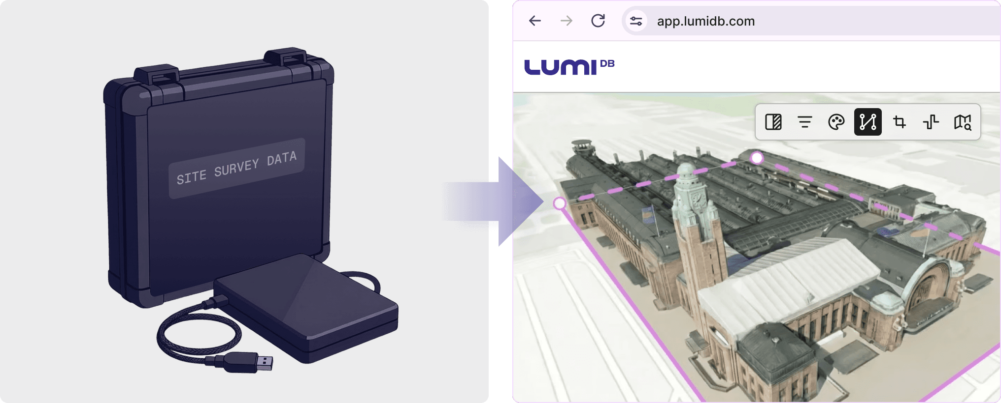
The data shows up inside the tools your clients already run.
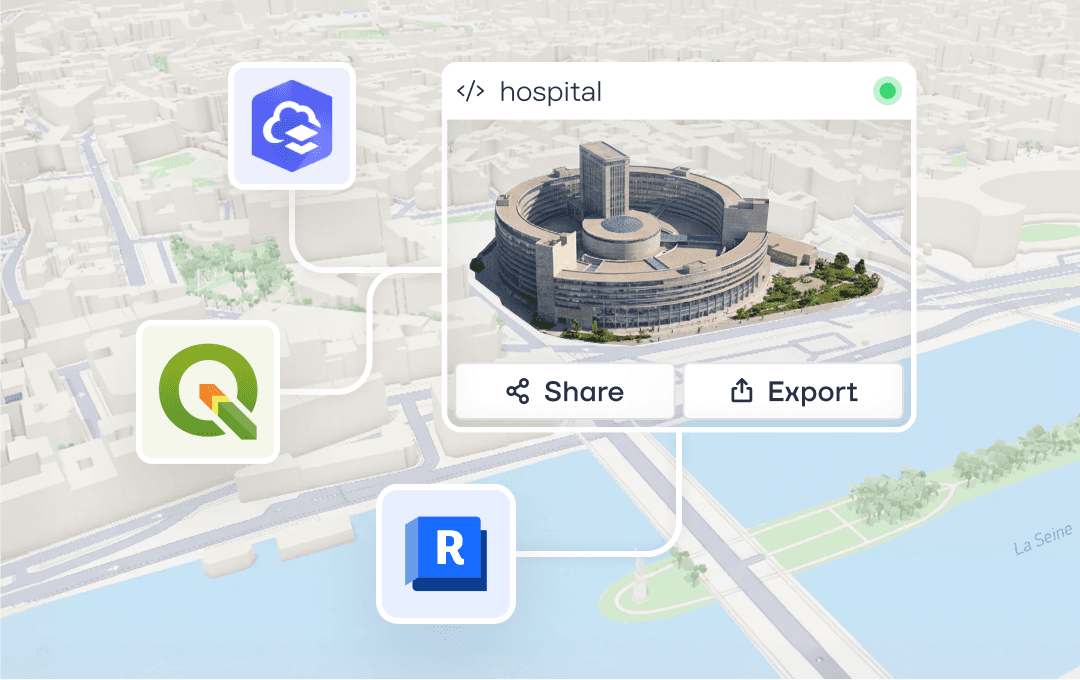
Your clients reach the published project from their own tools, with no re-exports from you. Stream into ArcGIS, QGIS, and others. Direct TerraScan integration. An API for inspection and custom pipelines.
Questions surveying teams ask
Can I deliver more than just point clouds?
Yes. Point clouds and rasters render in the viewer (3D and 2D). Other files — PDFs, shapefiles, project reports — attach and download on demand.
Can my client export the data back to a file?
What coordinate systems are supported?
Where is the data hosted? Can I keep it in a specific region?
Do my clients need to install anything?
How is access managed across clients?

Stop preparing files.
Start delivering data.
Get a firsthand look at LumiDB by exploring our public demo project. No signup or download required.