Access to spatial data. Wherever the work happens.
LumiDB indexes point clouds, rasters, vectors, and project files at petabyte scale, reachable by your customers through sharing, your GIS and CAD tools through connectors, and your workflows through the API.


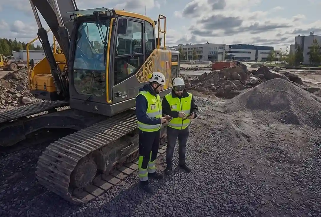
Suvi Uotila
Team Leader, City of Helsinki
OFFICIAL PARTNERSHIPS
Partners with the platforms that define the industry
Reference tools across processing, GIS, and AI have chosen to build with LumiDB.

Official partner
LumiDB is a recognized partner in Esri's global ecosystem. Point cloud archives stream live into ArcGIS Pro via I3S, so GIS teams see spatial data inside the platform they already work in.

AI integration partner
Pointly's AI engine classifies, labels, and vectorizes point clouds. The partnership pairs LumiDB's petabyte-scale infrastructure with AI-driven analysis.

Built-in integration with TerraScan
The reference toolchain for point cloud processing ships a direct LumiDB export, built by Terrasolid so their users had a publishing target downstream tools could actually reach.

AI classification at scale
Flai's pre-trained AI models classify LiDAR across 40+ semantic classes at national scale. Paired with LumiDB, that classified data becomes queryable and streamable the moment processing finishes, with no manual handoffs.
THE OLD WAY
Scattered point cloud data
Data is stored across drives, portals, and emails, making it unclear where to search or who to ask. Projects lose days locating the right datasets, delaying inspections and planning.
05 Nov 2025 08:31
LAS
file-scandata_raw-754839.las
29 Aug 2025 14:20
LAZ
topo_capture_area_A.laz
12 Jan 2026 02:41
LAS
Project_Alpha_Site_Survey_Bldg04.las
03 Jan 2026 17:19
LAS
Munich_North_Highway_M4_Junction12.las
05 Jun 2025 12:48
LAS
file-scandata_raw-754840.las
03 Jan 2026 09:15
LAZ
bridge_pylon_survey_final.laz
28 Oct 2025 15:45
E57
Scan_008_NorthWing.e57
02 Dec 2025 10:05
E57
Scan_009_MainHall_Interior.e57
22 Aug 2025 10:15
LAS
file-scandata-754835.las
14 Oct 2025 11:22
LAZ
scan-topography-042.laz
05 Sep 2025 16:45
E57
Scan_011_RoofDeck.e57
02 Sep 2025 09:14
LAS
file-scandata_raw-754831.las
Paid for once, used once
Survey data is among the most expensive you collect, and the hardest to access. Every reuse needs another round of specialist prep, so most archives only get used by the project that funded the capture.

THE NEW WAY
LumiDB is your point cloud data warehouse
LumiDB centralizes and streams all your scans in one place, so teams can access, reuse, and connect data instantly across projects and tools.
Sharing for your customers
Browser-based project workspaces with role-based permissions for every stakeholder. Internal teams, external contractors, and client stakeholders get exactly the access they need without specialist help.


Connectors for your GIS and CAD tools
Live streaming into ArcGIS, QGIS, CAD, and digital twin platforms via I3S, EPT, and Cesium 3D Tiles. Direct publishing from Terrasolid. On-demand LAZ, E57, and glTF when a tool still wants files.
API for your automated workflows
Every dataset, query, and export is reachable programmatically. AI inspection models, change detection, and analytics pipelines hit the archive directly, with sub-second spatial queries at petabyte scale.
Why teams choose LumiDB
Accelerated project delivery
We eliminate the manual work required to prepare data, moving from capture to analysis in minutes instead of days. This allows your team to start projects earlier and respond to safety inspection requests immediately.

Automated analysis at scale
Our technology powers computer-led analysis with direct access to your full archive. This enables city-wide measurements without needing more specialists or manual effort.

Higher value from your data
We turn static files into searchable data to reduce storage costs. This allows your organization to reuse 3D scans across every department and mapping tool.

Built for the world’s
most demanding scan data
You can use LumiDB for any 3D point cloud project.
Here’s how teams are applying it today:


Frequently Asked Questions
Who is LumiDB built for?
What should I use LumiDB for?
Who is using LumiDB?
We want to test the product. How can we do this?
Can LumiDB handle very large datasets?
What file formats does LumiDB support?
How does LumiDB integrate with other tools?
Where is the LumiDB data hosted?
I already use Potree for visualization. Can I still take advantage of LumiDB?
We already use S3 or Azure for storage. Why add another layer?
Our data is sensitive. Can it stay inside our own environment?
Will our experts have to learn another portal?

Stop preparing files.
Start delivering data.
LumiDB is the spatial data warehouse that turns petabyte-scale point cloud archives into queryable streams, feeding your every tool, team, and AI model.